My new app, Ubimage
It started on a trek. I was looking at a peak I had already climbed, I knew I had been up there, and I could not tell which one it was. I had photos of it in my pocket, hundreds of them, and no way to ask my phone the only question that mattered: is that the one?
Every photo already carries the answer. Coordinates, altitude, date, even the direction the camera was facing. It is all sitting there in the file, and no app I knew did anything with it. So I built the app.
What it does
You raise your phone and look at the landscape through the camera. Your own photos and videos appear on it, each one hanging exactly where you shot it. The peak across the valley shows up high and far. The street corner from two years ago sits close and low. Turn around and the pins stay glued to the world, not to your screen.
Point at a ridge you cannot name and Ubimage tells you that you photographed it four years ago. That is the whole app. Everything else is in service of that one moment.
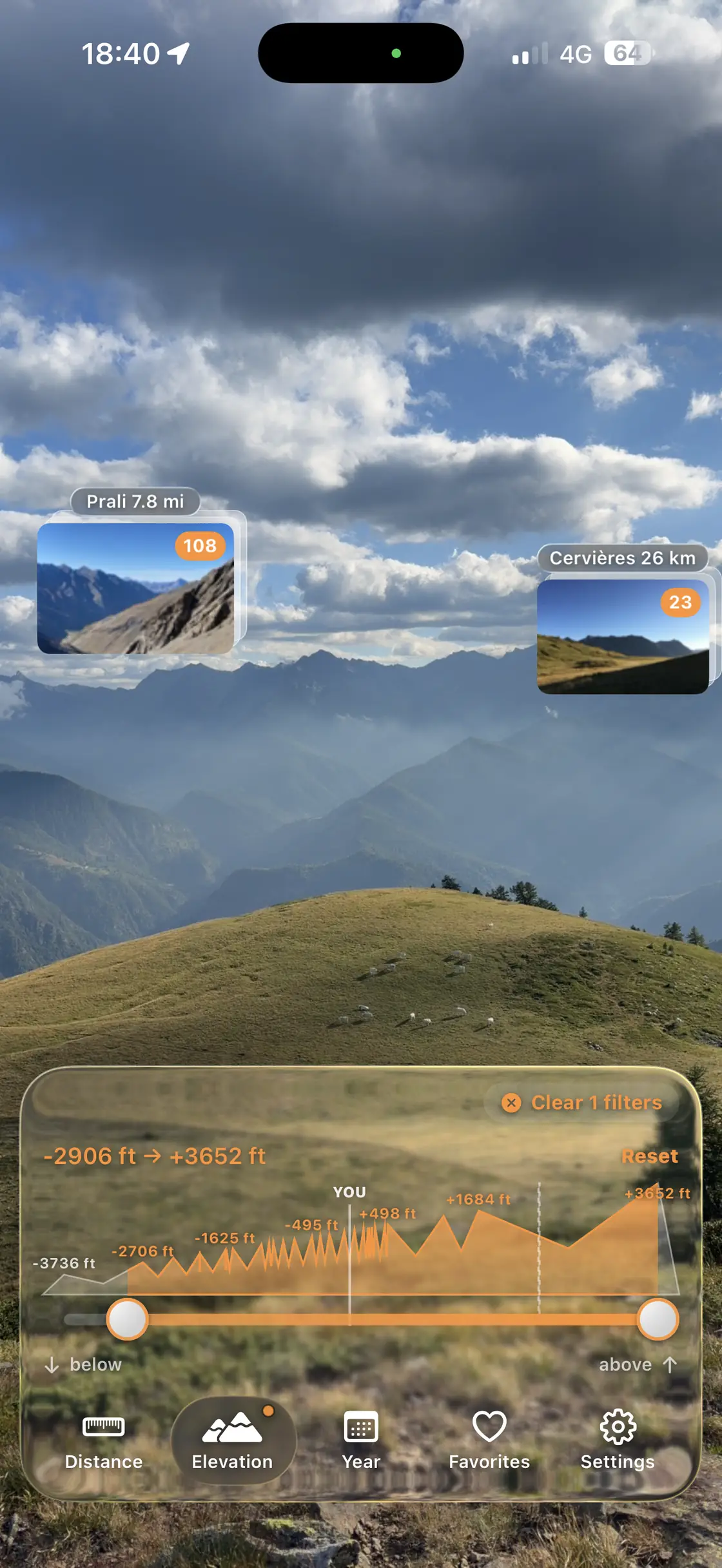
Your photos, back on the landscape they came from
The geometry rabbit hole
I thought the hard part would be the UI. I was wrong. The hard part is that the Earth is round and compasses lie.
A pin on a summit 50 km away has to account for the planet curving under your line of sight, about 200 metres of drop at that distance, and for the atmosphere bending the light back up a little. Skip that and the pin floats above the mountain it promises to sit on. So yes, there is a refraction coefficient in a photo app. I regret nothing.
The compass was a longer war. iPhone magnetometers are off by a handful of degrees on a good day, and much worse next to a tram line. I spent two evenings walking around Turin photographing the Mole Antonelliana, measuring the error on screenshots, pixel by pixel, until the fusion between gyroscope and compass converged where it should. The Mole was my calibration target. Best test bench a city can offer.
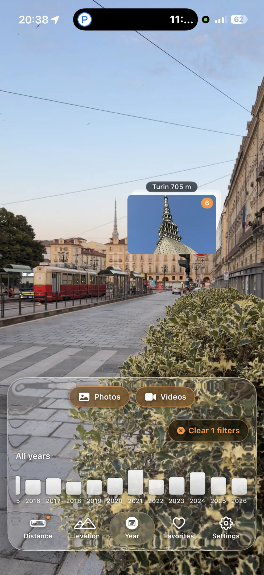
The Mole from Via Po, pinned at 705 metres. This screenshot cost me a whole evening of debugging.
Not only mountains
I built it for the outdoors, then discovered it works just as well between buildings. You are back in a city you visited years ago, you remember photographing a beautiful corner and have no idea where it was. Raise the phone, there it is, 400 metres down that street. Open it in Maps and walk.
Videos work too. The waterfall you filmed loops silently on its little card, hanging exactly where the waterfall is. The first time I saw that running I grinned like an idiot.
One thing I did not expect to love: open a place you have shot a hundred times and a flat compass at the bottom lets you flip through its photos by the direction you were facing. Keep only the ones shot looking south, or the ones shot back toward where you stand now. It turns a pile of duplicates into something you can actually read, and orienteers will feel right at home.
Nothing leaves your phone
No account, no server, no analytics. The app reads the location data your library already has and does the trigonometry on the device. I did not have to build it this way. I wanted to. Your photos are yours.
Ubimage is out now on the App Store, one small one-time price, no subscription. There is also ubimage.app if you want the tour first.
Built in Turin, tested on real mountains and one very patient landmark. More soon.